Description
FULL-CONSTELLATION
Menampilkan 1198 channels untuk pelacakan konstelasi penuh, Y1 dapat memberikan posisi akurasi tingkat sentimeter yang andal. Diuntungkan dari pelacakan sinyal yang kuat dan algoritme RTK yang canggih, Y1 menunjukkan kecepatan tetap yang stabil & tinggi bahkan di lingkungan yang keras, seperti ngarai kota, hutan, dan skenario terbatas sinyal lainnya.

OLED & WEB UI
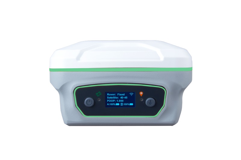
Melalui layar OLED, tombol dan indikator fungsional, Anda dapat langsung melakukan pemeriksaan status dan konfigurasi Y1. Sementara itu, pengguna juga dapat dengan mudah mengonfigurasi mode kerja, mengunduh data, memperbarui firmware, dan memeriksa status perangkat melalui UI web setelah koneksi WiFi.
60° TILT IMU
The built-in IMU module supports up to 60° tilt surveying while keeping the accuracy within 2.5cm.

6600MAH BATTERIES
Hot swap batteries with 6600mAh large capacity support more than 12hrs working time and less than 3hrs charging time.

FLEXIBLE
COMMUNICATION
Terintegrasi dengan 4G/UHF/WiFi/Bluetooth/USB/port serial, Anda dapat secara fleksibel memilih cara yang Anda butuhkan untuk komunikasi. UHF yang ditingkatkan dapat mencapai jangkauan kerja hingga 15km dengan daya 2W, mengurangi beban Anda tanpa memerlukan radio eksternal.
RUGGED HOUSING
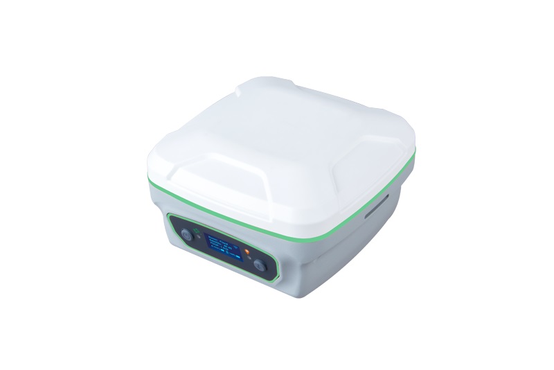
With IP67 waterproof & dustproof design and magnesium-aluminum alloy housing, Y1 is not afraid of harsh working environments.

FIELD SOFTWARE
SingularSurv dan SingularPad keduanya adalah perangkat lunak survei lapangan berbasis Android, menyediakan mode survei statis/RTK/PPK, mode kerja basis/rover penuh, format berlimpah, interaksi yang mudah digunakan, metode survei profesional, dan lain-lain.
SIGNAL TRACKING
Channels: 1198
GPS: L1C/A, L2P, L2C, L5, L1C
BDS: B1I, B2I, B3I, B1C, B2a, B2b
GLONASS: L1, L2
Galileo: E1, E5a, E5b, E6, E5 AltBoc
QZSS: L1C, L2, L5, L1C/A
Navic: L5
SBAS: WAAS, EGNOS, SDCM, BDSBAS, GAGAN
ACCURACY
RTK reliability: >99.99%
RTK initialization: < 10s
Hot start: < 10s
Cold start: < 50s
Re-acquisition time: < 1s
Static post-processing:
± 2.5mm+0.5ppm Horizontally
± 5mm+0.5ppm Vertically
RTK: ±8mm+1ppm Horizontally
±15mm+1ppm Vertically
RTD: ±0.5 m Horizontally
±1.0m Vertically
SBAS: < 1.0 m 3D RMS
Tilt surveying: <2.5cm, within 60° tilt
COMMUNICATION
BT: BT4.0
Wi-Fi: IEEE 802.11 a/b/g/n 2.4G 5G, support configuration & data download via web UI
4G: FDD-LTE B1/B3/B5/B7/B8
TDD-LTE B38/B39/B40/B41
TDSCDMA B34/B39
WCDMA B1/B2/B5/B8
GSM B2/B3/B5/B8
CDMA1x/CDMA2000 BC0/BC1
UHF modem*:
– Frequency range: 410 – 470Mhz
– Channel Spacing: 250 kHz
– Transmit power: 0.5W/1W/2W selectable
– Working range: 5km – 15km, in ideal environments
Interface:
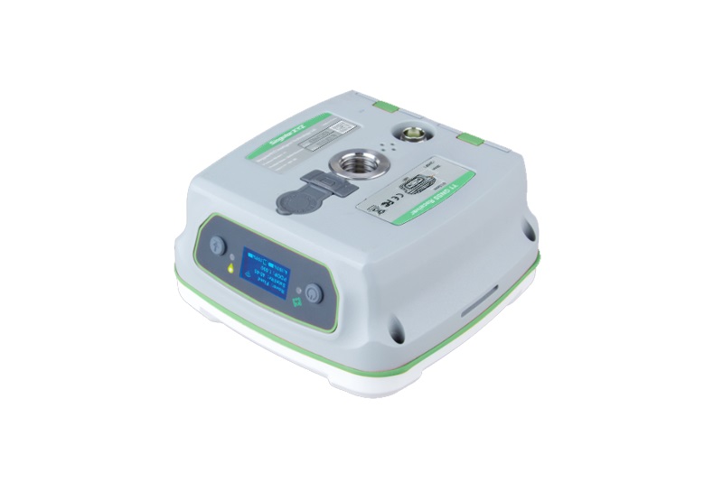
– 1 7-pin lemo port for RS232 transmission and power supply
– 1 SIM card slot for 4G
– 1 TNC connector for UHF antenna
ELECTRICAL
Power: 6-28V DC
Battery: 6600mAh, 3.6V, more than 12 hours working time
Power consumption: < 2.85 W*
DATA FORMAT
Data recording formats: RINEX 2.X, 3.X, binary data
Correction data formats: RTCM 2.x, 3.x, CMR
Data output formats: NMEA-0183 messages, binary data
Data output rate: 1Hz, 2Hz, 5Hz, 10Hz, 20Hz
Supported protocols: VRS, FKP, MAC, Ntrip
PHYSICAL
Size: 12.3 × 12.3 × 7.0cm
Weight: 834 g, with batteries inside
Memory: 8 GB
Display: 0.93″ OLED display
Button: 2 buttons for power/enter and function
Indicator: 2 LEDs indicating satellite tracking and correction data
Housing: Magnesium-aluminum alloy
Speaker: For voice broadcast of real-time status
ENVIRONMENTAL
Working temperature: -30℃ ~ + 65℃
Storage temperature: -40℃ ~ +85℃
Waterproof & dustproof: IP67
Shock and Vibration: Designed to survive a 2m drop onto concrete
Humidity: 100% no condensation

